
Land Surveying
Our work spans transportation, utilities, telecommunications, land acquisition, and residential and commercial development projects.
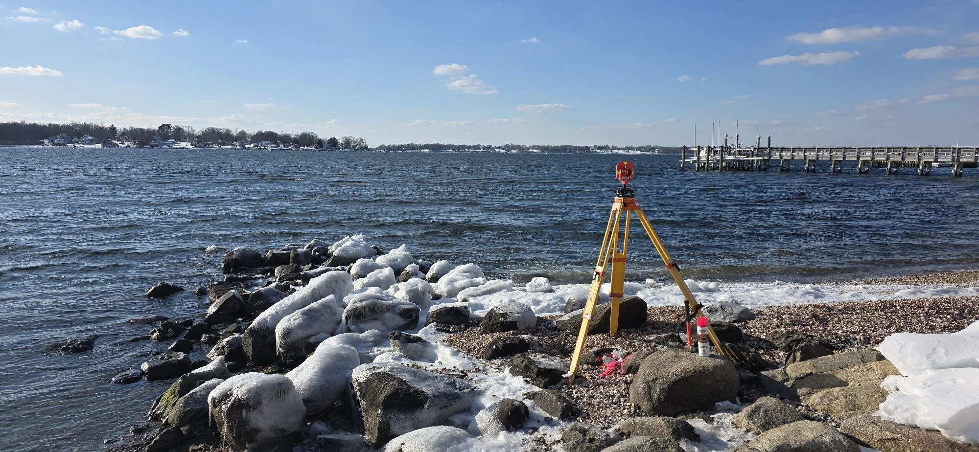
When specialized approaches are required, MCA assembles and leads teams of experienced survey consultants, contractors, and advisors to meet the unique demands of each project. These capabilities include photogrammetric, bathymetric, UAV, and laser scanning services.
Our survey group includes field crews led by experienced Party Chiefs, supported by a dedicated CAD team and Project Managers working under the direction of Professionally Registered Land Surveyors.
This depth of resources allows us to meet project schedules while maintaining a consistent and coordinated workflow.
Specializations
Boundary Surveys
Topographic Surveys
Roadway & Highway Surveys
ALTA/ACSM Land Title Surveys
Environmental/Hazmat ELUR Surveys
Utility Mapping
As-Built Surveys
3D Laser Scanning
River Cross Sections
Construction Layout
Bridge Scour Surveys
Volumetric Calculations
Control/Location Surveys
GIS Development & Field Data Collection
Project Highlights
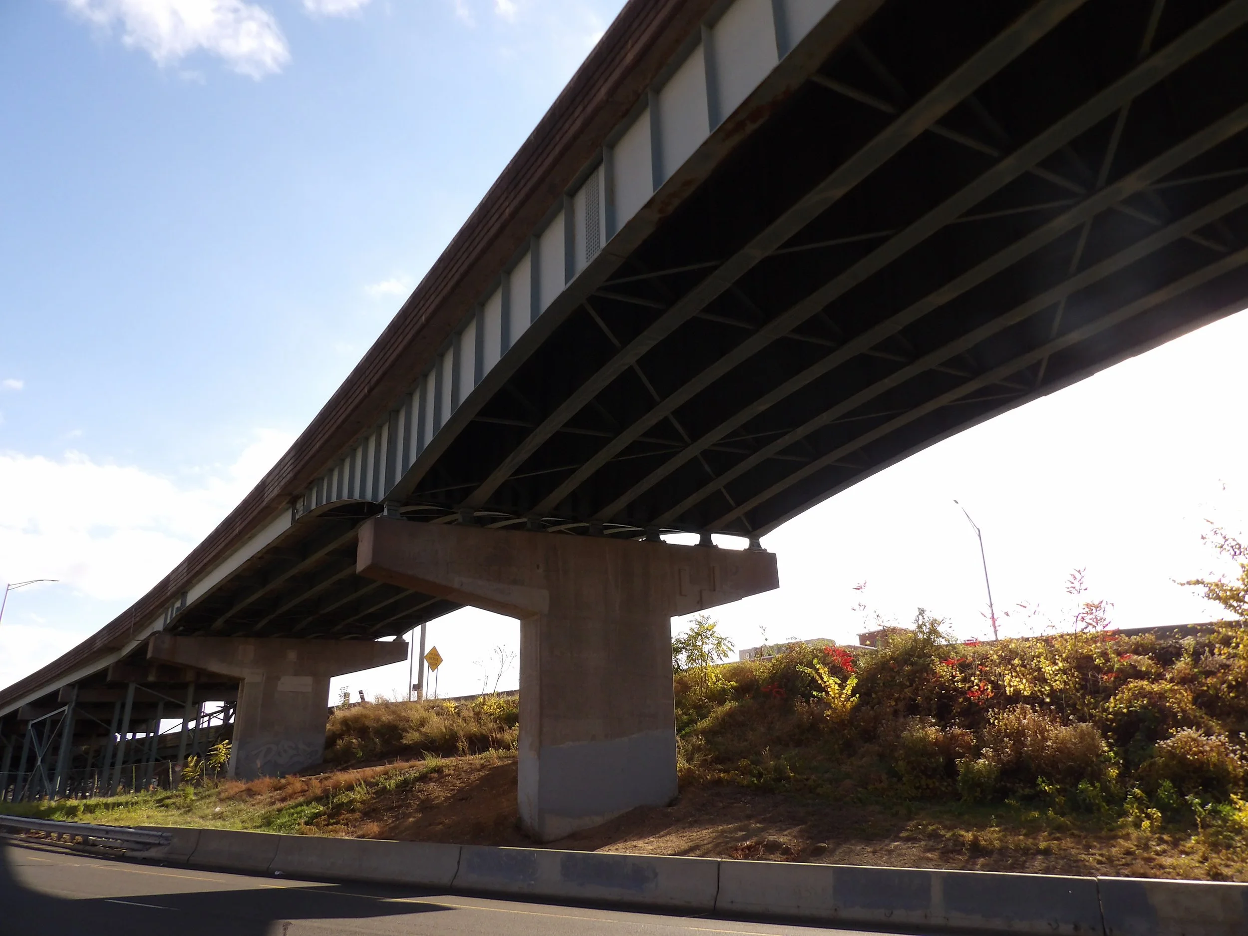
Dutch Point Viaduct | Hartford, CT
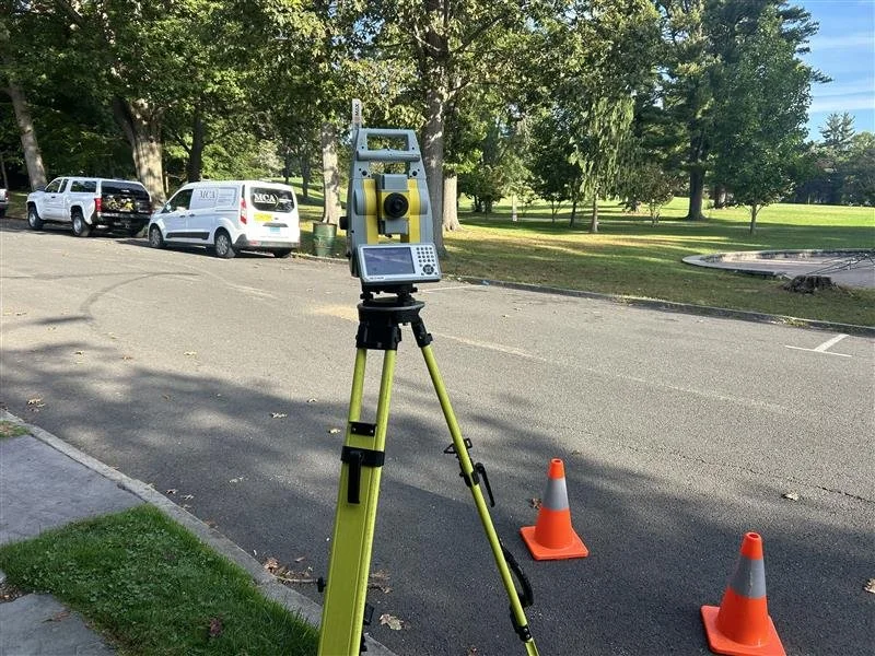
Topographic Survey at Elizabeth Park | West Hartford, CT
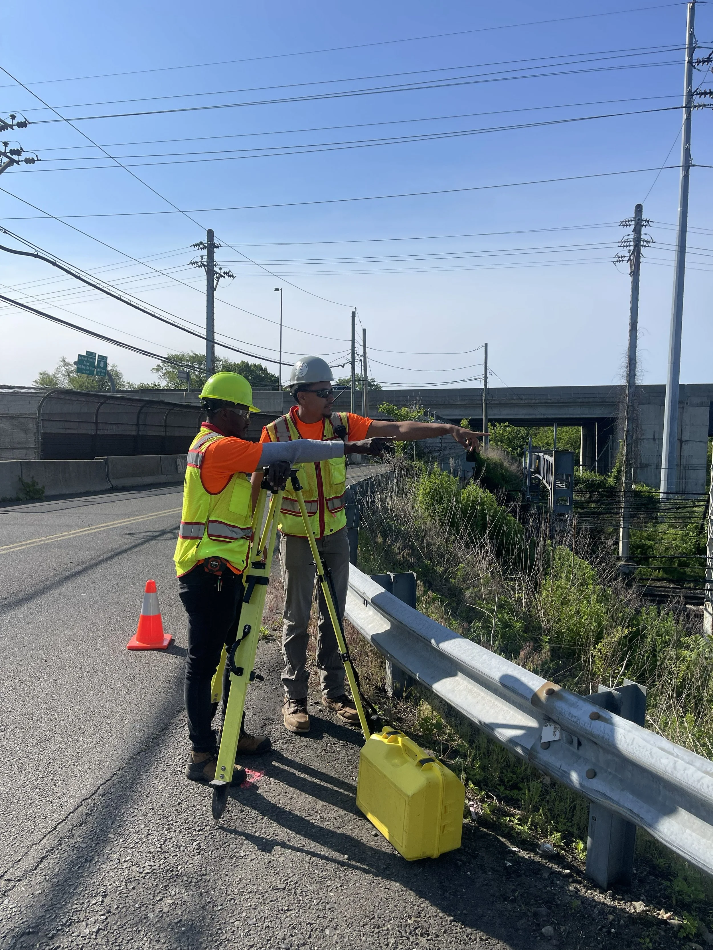
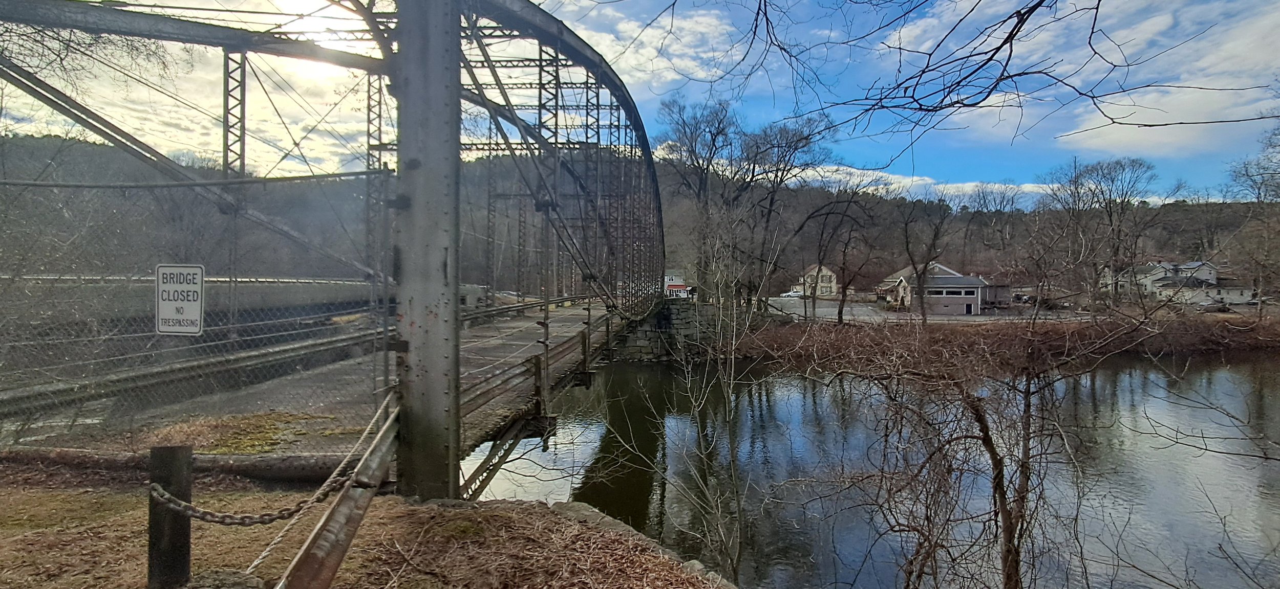
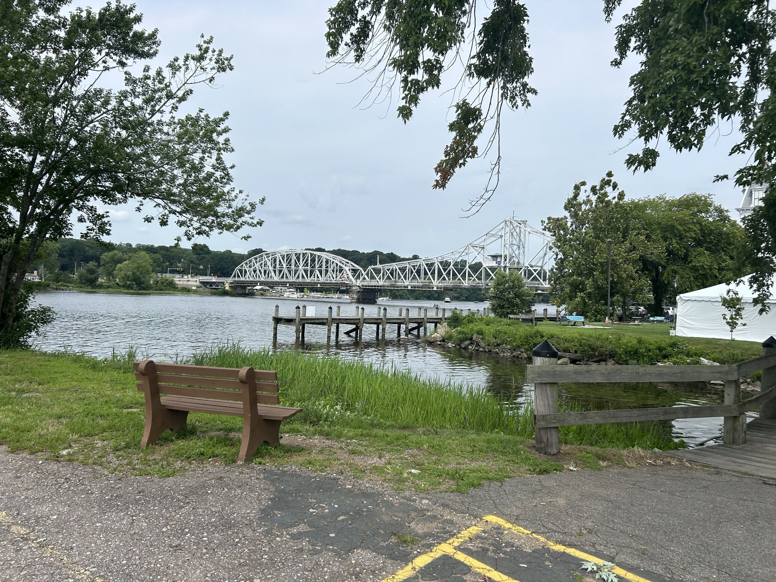
Survey on Devon Bridge | Milford, CT
Topographic and Feature Location Survey at Mamacoke Island | Waterford, CT
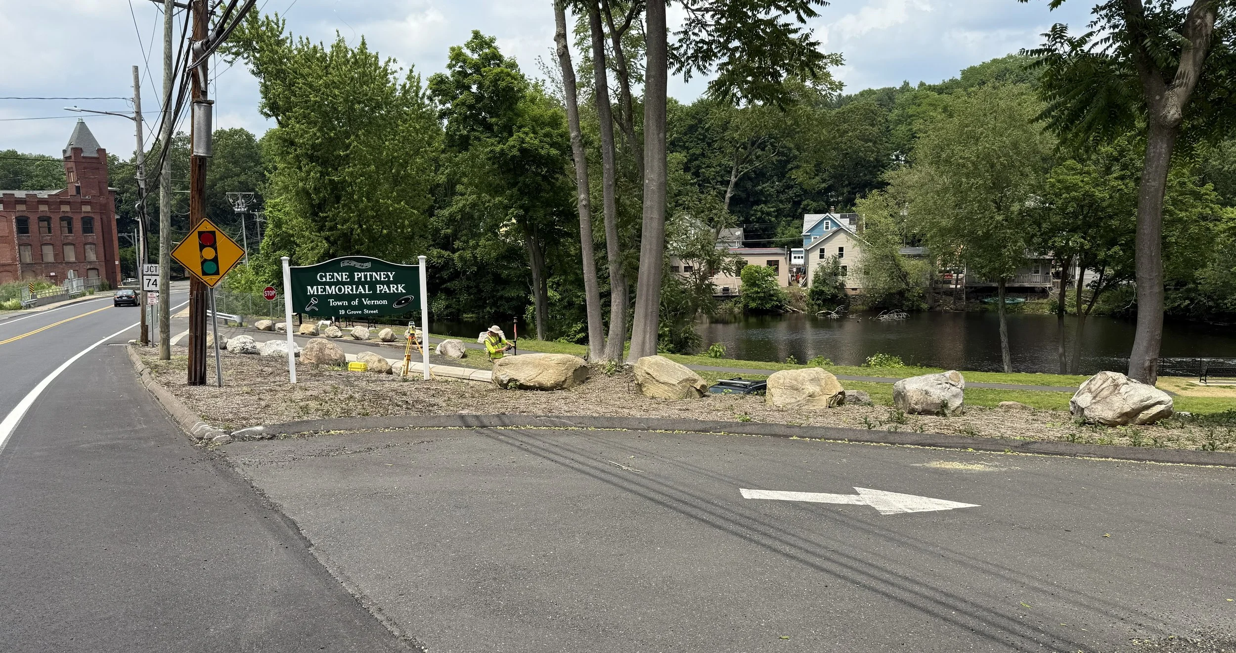
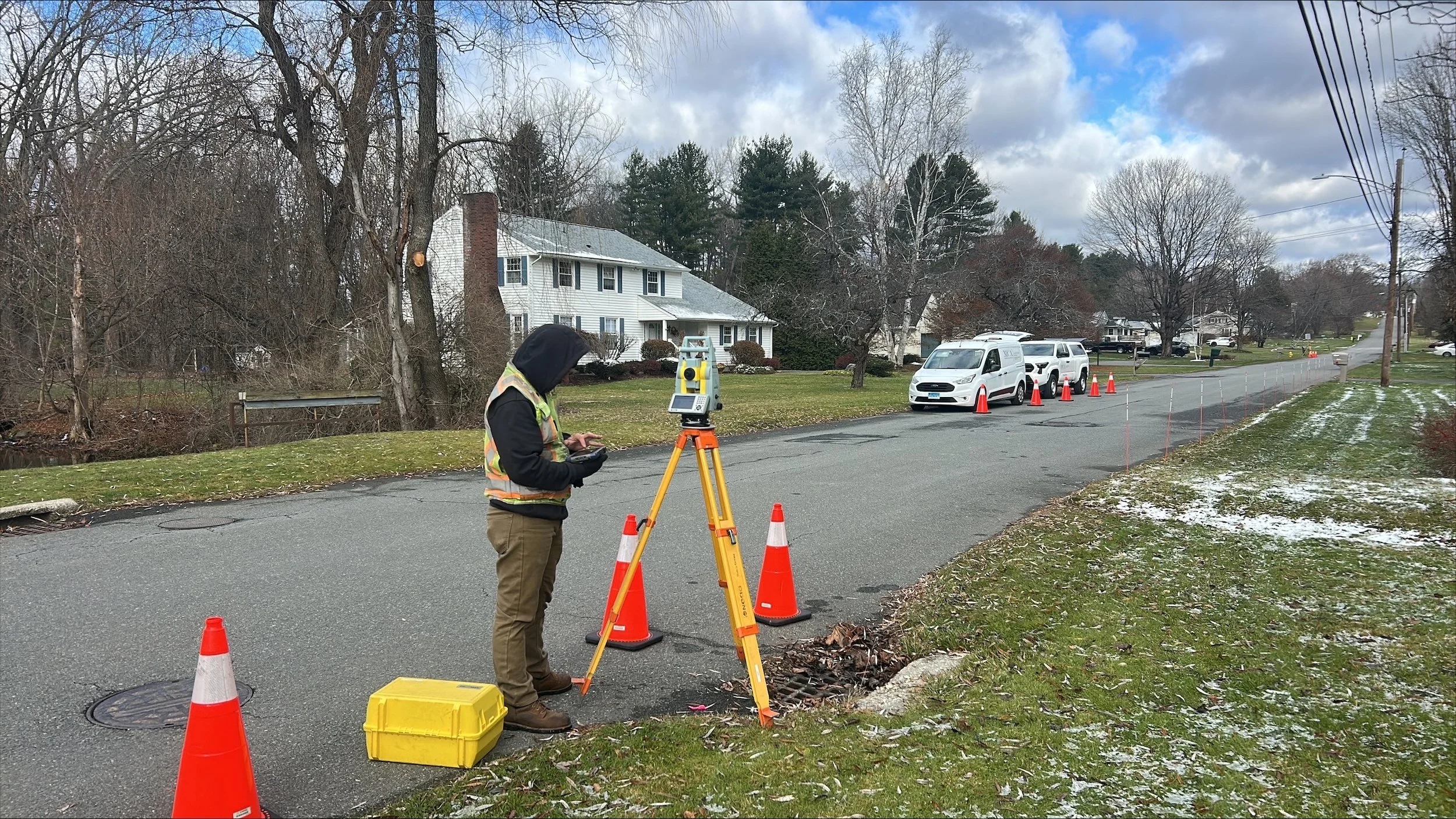
Topographic Survey for Rockville Rails to Trails Project | Vernon, CT
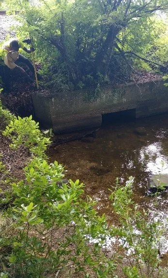
Culvert Cross Section Survey | Pittsfield, MA
Topographic & Boundary Survey for Old Boardman Bridge | New Milford, CT
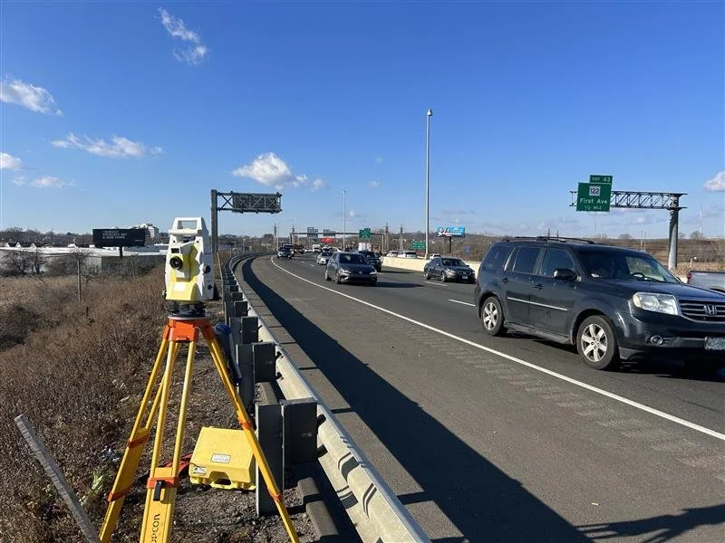
Replacement of Bridges on I-95 | West Haven, CT
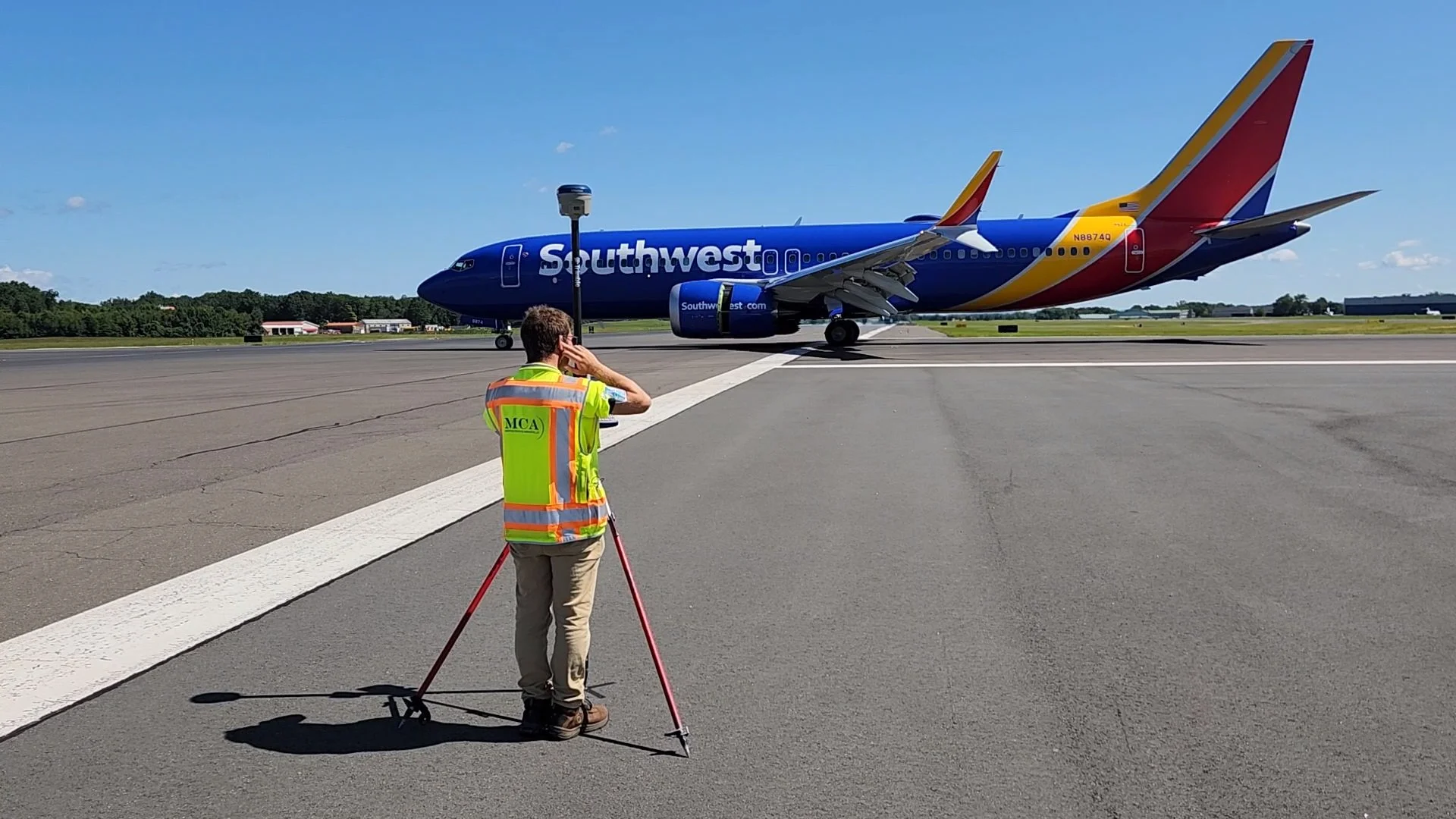
Survey of Bradley International Airport’s Runway 6-24 | Windsor, CT
Survey for Succor Brook | E Haddam, CT
URI Land and Grounds Survey | Rhode Island
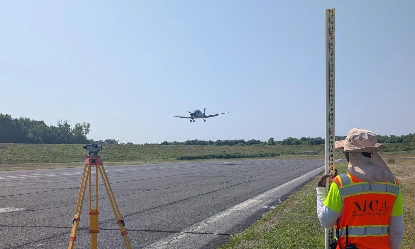
Brainard Airport Runway Topo Survey | Hartford, CT