
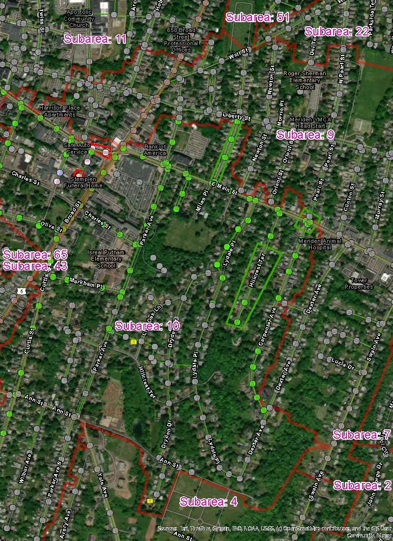
MCA works with clients to improve access to infrastructure asset information.
This includes developing and updating location and attribute data for utility assets at facilities and within collection/distribution systems. The services we provide are an important part of compliance with programs such as CMOM, MS4, GASB34, and others.
Our field crews and technicians use a variety of tools and technologies, including tablets, data collectors, and GPS receivers, to improve data collection methods. We also leverage the capabilities of web-based mapping tools that allow us to perform real-time quality control of the data acquisition process while our technicians are on site.
GIS and Asset Management
Specializations
Collection of location and attribute data with survey-grade GPS receivers
Verification and updating of utility mapping
Use of on-line tools to improve the efficiency and accuracy of data acquisition
Map Development


