
Multidisciplinary Services
Practical Solutions
From initial planning through final construction, we deliver integrated, coordinated solutions across every phase of your project. Explore our capabilities below.
Our Capabilities

MCA's engineering division offers a wide range of services for changes in land use, including master planning, conceptual layouts, preliminary designs, and detailed construction-level documents. Included with this are the services of land surveying, environmental investigation for hazardous building material and soil and groundwater contamination, subsurface investigations, and hydrologic and hydraulic analysis and design.
Our expertise includes site layout and design, site grading and drainage, stormwater management, roadway, driveway, and parking lot design, utility design, horizontal and vertical analysis and design, and landscape evaluation and design.
Additionally, our team prepares specifications and cost estimates, assists with the bidding process, and provides construction administration services through project closeout.
To support projects, MCA completes full permitting services with local, municipal, state, and federal agencies. In many cases, the design of existing facilities and infrastructure requires the relocation of significant utilities. For these projects, MCA provides subsurface utility engineering (SUE) and location, and our engineers design the relocation of utilities to accommodate the design program.
Site/Civil Engineering
SPECIALIZATIONS
Site Planning, Layout & Design
Site Grading and Drainage
Roadway Design
Parking Lot and Driveway Design
Land Use Planning & Permitting
Storm Drain and Sanitary Sewerage Design
Stormwater Management
Potable Water System Design
Sediment & Erosion Control Plans
ADA Compliance & Design
Construction Documents
SPECIALIZATIONS
Boundary Surveys
Topographic Surveys
Roadway & Highway Surveys
ALTA/ACSM Land Title Surveys
Environmental/Hazmat ELUR Surveys
Utility Mapping
As-Built Surveys
3D Laser Scanning
River Cross Sections
Construction Layout
Bridge Scour Surveys
Volumetric Calculations
Control/Location Surveys
GIS Development & Field Data Collection
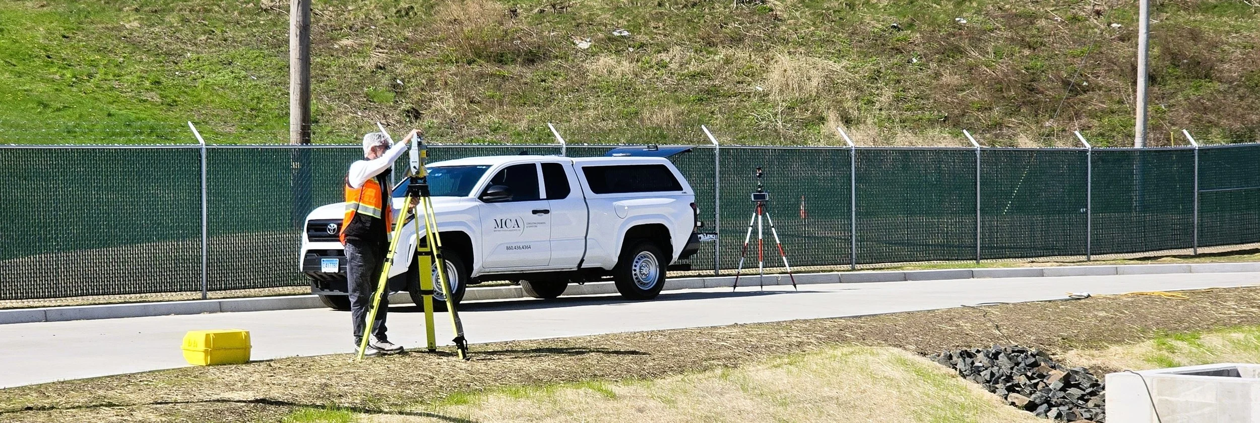
MCA is a full-service land surveying company that partners with engineering firms, architects, developers, and municipal, state, and federal clients to provide services for a multitude of infrastructure and land development projects. Our work spans transportation, utilities, telecommunications, land acquisition, and residential and commercial development projects.
When specialized approaches are required, MCA assembles and leads teams of experienced survey consultants, contractors, and advisors to meet the unique demands of each project. These capabilities include photogrammetric, bathymetric, UAV, and laser scanning services.
Our survey group includes field crews led by experienced Party Chiefs, supported by a dedicated CAD team and Project Managers working under the direction of Professionally Registered Land Surveyors.
This depth of resources allows us to meet project schedules while maintaining a consistent and coordinated workflow.
Land Surveying

MCA offers experience with a variety of water and wastewater projects from the study phase through the design and construction phases.
Our seasoned staff has a comprehensive background in the design and evaluation of wastewater collection systems.
We are versed in the latest product technologies, including trenchless rehabilitation, which allows us to offer cost-effective and beneficial asset management solutions.
Water and Wastewater Engineering
SPECIALIZATIONS
Sewer Design & Rehabilitation
Water Main and Connection Design
Tools & Data Management with GIS
Asset Management
Hydraulic Modeling
Program Management
SSO and CSO Programs
Infiltration/Inflow Studies (I/I)
Sewer System Evaluation Surveys (SSES)
CCTV Review and Evaluation

Regulatory Compliance and Permitting
MCA provides local, state, and federal permitting for projects.
As permitting specialists, we work to maintain an understanding of the changing regulatory environment. Our project experience includes, but is not limited to, bridges, roadway realignments, storm water detention systems and treatment systems, alternative construction practices to minimize wetland encroachment, and water and wastewater conservation techniques.
Our engineers and permitting specialists are experienced with public outreach and presenting solutions in front of municipal, regulatory, and community groups.
Our experience gives us the knowledge to suggest modifications to designs to mitigate environmental impacts and reduce the intensity of the permitting effort, including the consequential time of permitting review.
SPECIALIZATIONS
Army Corps of Engineers Permitting (ACOE)
State of Connecticut DEEP Permitting
DOT Office of Environmental Planning Permit Need Determination Forms
Flood Management Certifications (FMC)
Office of the State Traffic Administration (OSTA) Permitting
Connecticut Siting Council
Department of Public Health Permitting
Endangered Species Assessment
Coast Guard Letter of Coordination
Preparing Certificates of Permission
Local Wetland & Conservation Commission Permitting
Office of Long Island Sound Special Permits (OLISP)
GIS and Asset Management
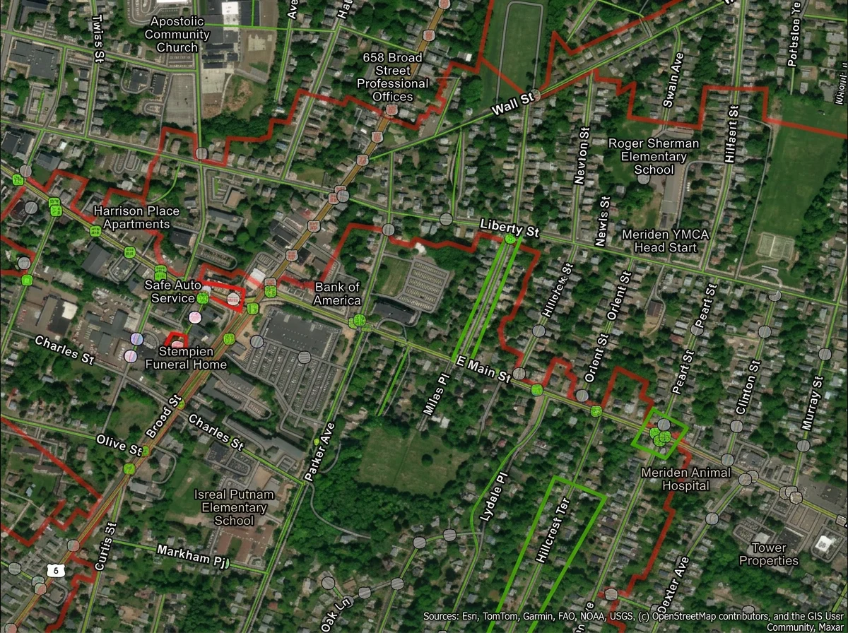
MCA works with clients to improve access to infrastructure asset information.
This includes developing and updating location and attribute data for utility assets at facilities and within collection/distribution systems. The services we provide are an important part of compliance with programs such as CMOM, MS4, GASB34, and others.
Our field crews and technicians use a variety of tools and technologies, including tablets, data collectors, and GPS receivers, to improve data collection methods.
We also leverage the capabilities of web-based mapping tools that allow us to perform real-time quality control of the data acquisition process while our technicians are on site.
SPECIALIZATIONS
Collection of location and attribute data with survey-grade GPS receivers
Verification and updating of utility mapping
Use of on-line tools to improve the efficiency and accuracy of data acquisition
Map Development

MCA provides Inflow/Infiltration (I/I) Study and Sewer System Evaluation Surveys (SSES) services to assist in the evaluation of sewer systems and to help clients create long-term plans for sewer infrastructure rehabilitation.
Services include manhole inspections, sanitary smoke testing, dye testing, coordination of flow metering and monitoring, basement inspections, and utility mapping. We continue to improve our sewer evaluation services by incorporating tablets, pole cameras, UAVs, and GPS equipment into our workflows for activities such as manhole inspection and sewer smoke testing. These tools allow us to maximize the types and quality of data that we can collect with a minimum amount of time in the field.
Inflow and Infiltration (I/I) and Sanitary Sewer Evaluation Studies (SSES)
SPECIALIZATIONS
Data Collection
Manhole Inspections
Sanitary Sewer Smoke Testing
Dye Testing
Basement Inspections
Tools and Data Management with GIS
Utility Mapping
SPECIALIZATIONS
Quality Monitoring
Field/Site Engineering
Owner's Representative
Oversight of Fieldwork
Contract Closeout
Change Order Cost Negotiations
Review and Analysis of Contractor Bids
Record Drawings (As-Built) Preparation
Management of Contractor Progress Payments
Review of Contractor Material Submittal
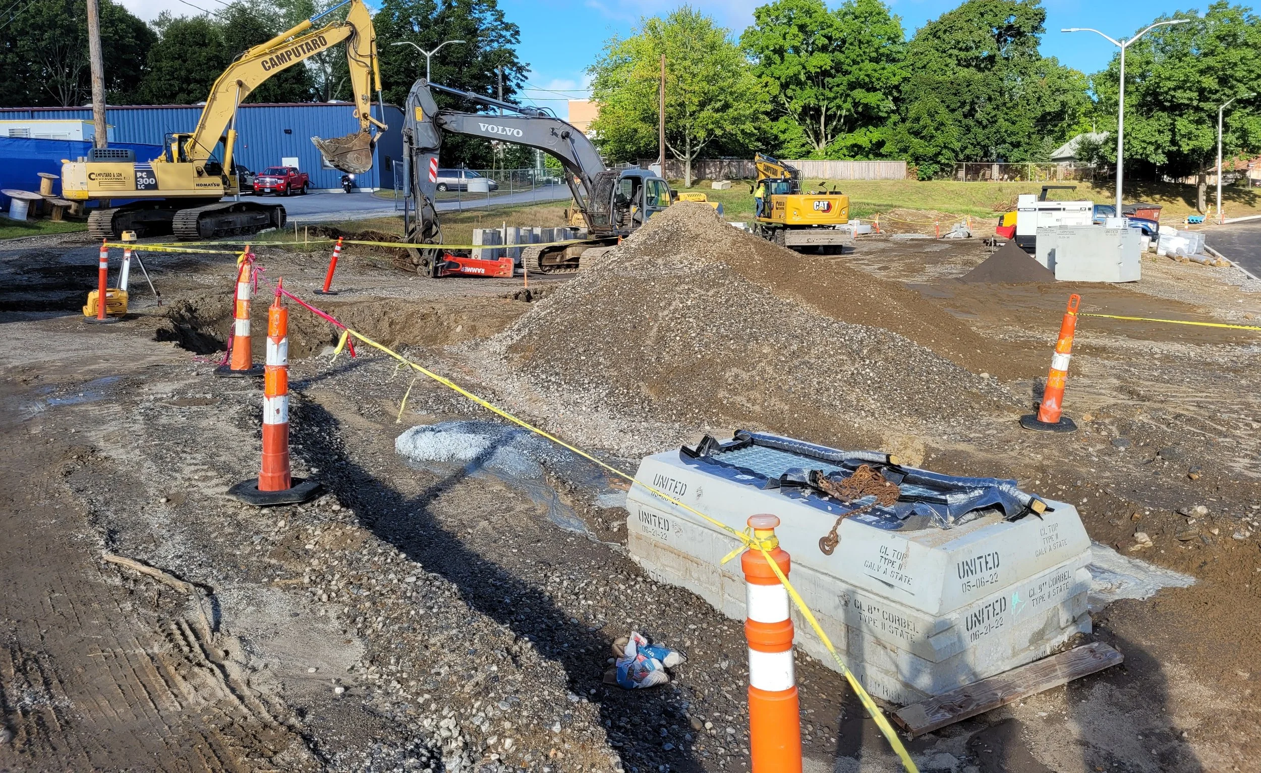
MCA provides Construction Administration and Inspection services for both in-house designed projects and as a third-party consultant.
Our team of Project Administrators, Engineers, and Inspectors works collaboratively with owners, designers, and contractors to support project delivery and maintain coordination throughout construction.
Construction Phase Services
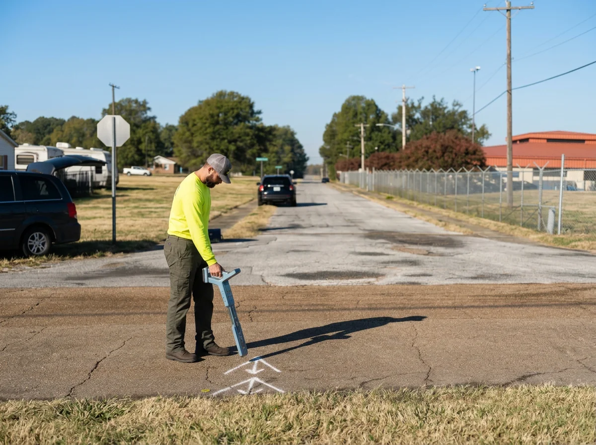
MCA provides subsurface utility engineering services for asset management and design purposes, including utility location and mapping for Quality Levels A through D. MCA’s trained staff utilizes geophysical methods, including electromagnetic transmitters and receivers, magnetic locators, duct rodders, and ground penetrating radar (GPR) to obtain Quality Level B information.
MCA can also mobilize vacuum excavation equipment to obtain Quality Level A information. MCA then utilizes survey-grade GPS equipment to collect location data and incorporate it into AutoCAD and GIS basemapping.
MCA has been providing these services to public agencies and other design firms for projects at a variety of locations, including urban streets, public parks, and large military installations.
Our clients find that accurate mapping of their existing subsurface infrastructure is an important tool for planning and design of future projects and the reduction of construction delays/claims caused by unforeseen conditions.
Subsurface Utility Engineering (SUE)
SPECIALIZATIONS
GPS Data Collection
Ground Penetrating Radar (GPR)
Electromagnetic Induction Services
AutoCAD or MicroStation Mapping
Vacuum Excavation for Utility Locating
GIS-based Mapping with Attribute Data Collection