Subsurface Utility Engineering (SUE)
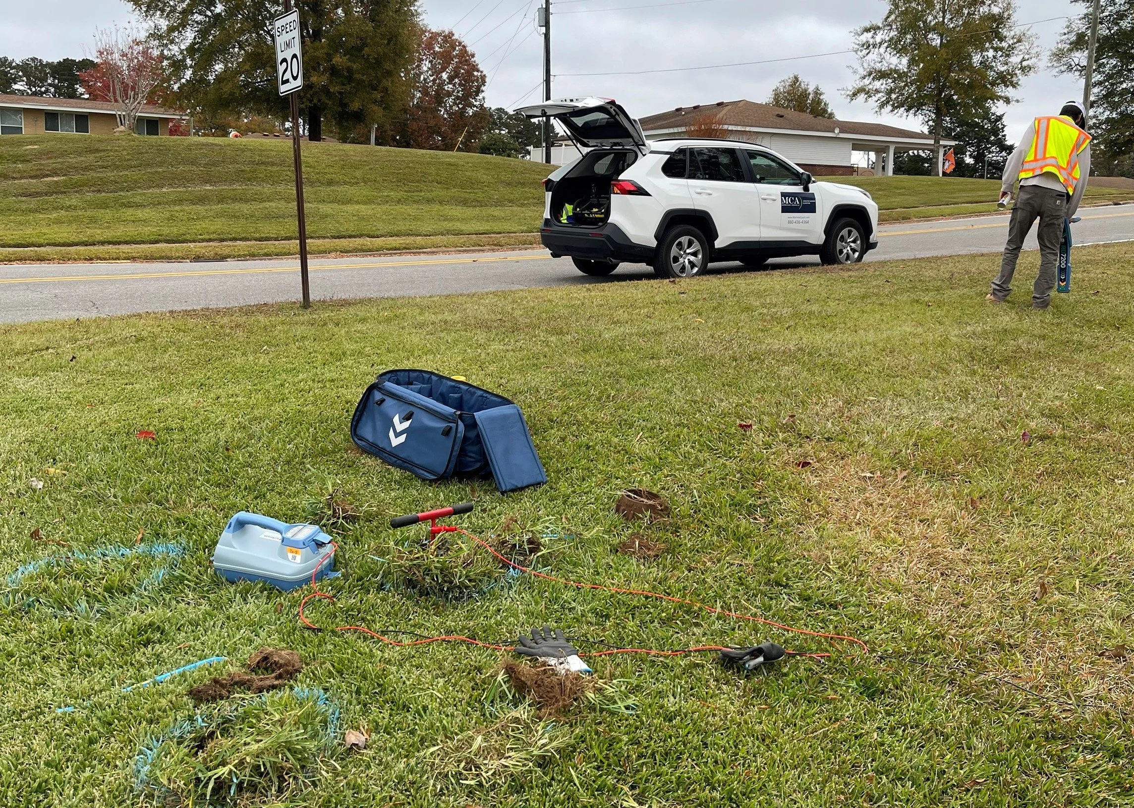
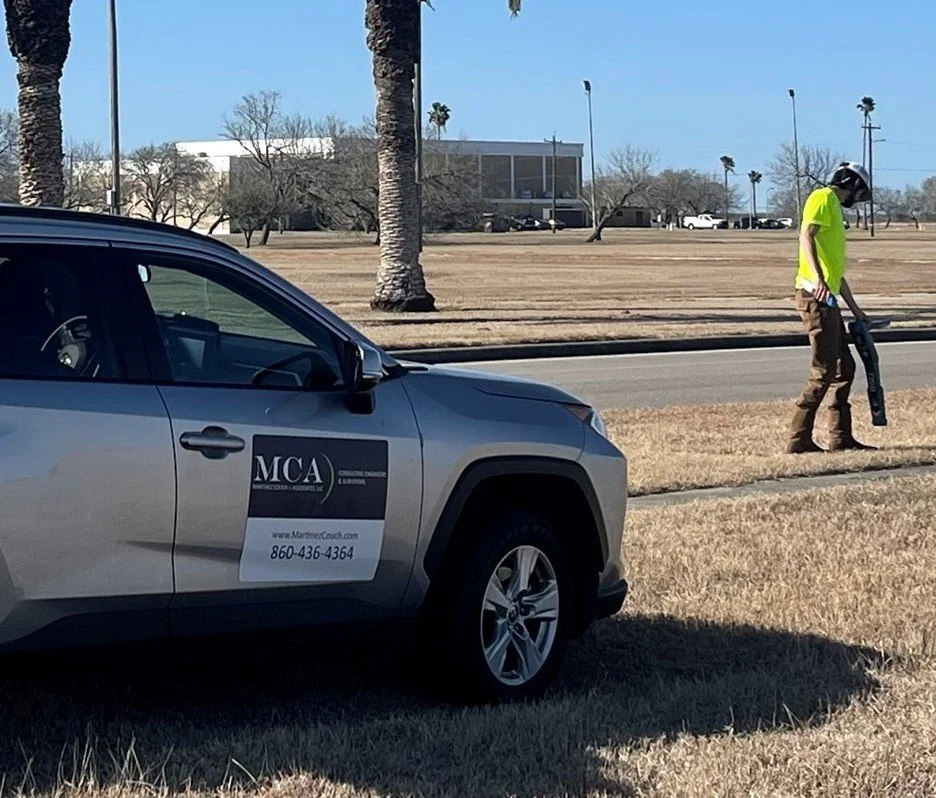
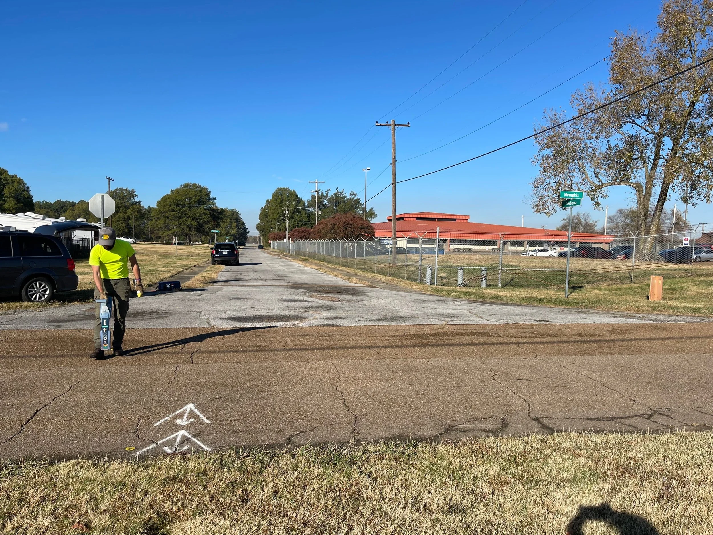
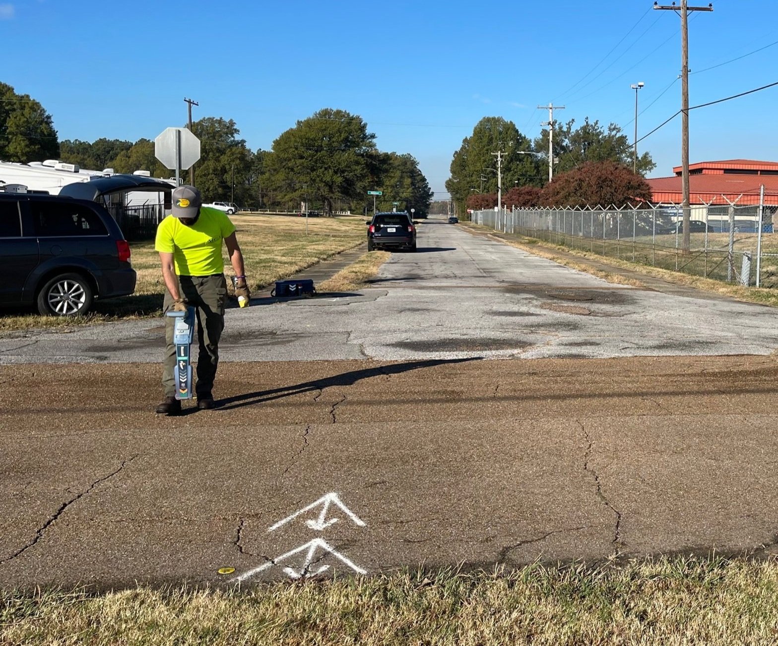
MCA provides subsurface utility engineering services for asset management and design purposes, including utility location and mapping for Quality Levels A through D. MCA’s trained staff utilizes geophysical methods, including electromagnetic transmitters and receivers, magnetic locators, duct rodders, and ground penetrating radar (GPR) to obtain Quality Level B information. MCA can also mobilize vacuum excavation equipment to obtain Quality Level A information. MCA then utilizes survey-grade GPS equipment to collect location data and incorporate it into AutoCAD and GIS basemapping.
MCA has been providing these services to public agencies and other design firms for projects at a variety of locations, including urban streets, public parks, and large military installations.
Our clients are finding that accurate mapping of their existing subsurface infrastructure is an important tool for planning and design of future projects and the reduction of construction delays/claims caused by unforeseen conditions.
Specializations
GPS Data Collection
Ground Penetrating Radar (GPR)
Electromagnetic Induction Services
AutoCAD or MicroStation Mapping
Vacuum Excavation for Utility Locating
GIS-based Mapping with Attribute Data Collection
Project Highlights