
Land Surveying
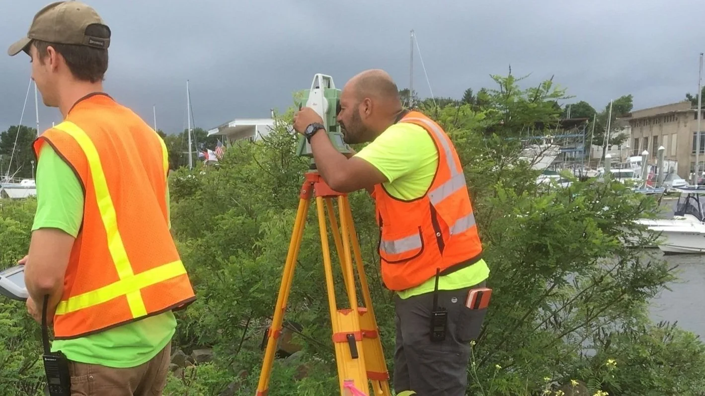
MCA is a full-service land surveying company that partners with engineering firms, architects, developers, municipal, state and federal clients to provide services for a multitude of infrastructure and land development projects. We specialize in transportation, utilities, telecommunication, land acquisition, residential and commercial development projects that range in size and complexity.
In instances where alternative surveying methods are required, MCA assembles and leads teams of experienced survey consultants, contractors, and advisors to meet the unique demands of each project. These services include, but are not limited to, photogrammetric, bathymetric, UAV and laser scanning surveying services.
Our survey group includes field crews, led by seasoned Party Chiefs, that are backed by a dedicated CAD team and Project Managers who all work under the guidance and direction of Professionally Registered, Licensed Land Surveyors. Our depth of resources and level of experience allows us to better meet project schedule demands, while producing reliable results for our clients.
Specializations
Boundary Surveys
Topographic Surveys
Roadway & Highway Surveys
ALTA/ACSM Land Title Surveys
Environmental/Hazmat ELUR Surveys
Utility Mapping
As-Built Surveys
3D Laser Scanning
River Cross Sections
Construction Layout
Bridge Scour Surveys
Volumetric Calculations
Control/Location Surveys
GIS Development & Field Data Collection